Home Home
  • Home
  • 25 years
  • News
  • Sectors
    • City councils
      • Urban Information Portal (PIU)
      • WebGIS Activities and locations management
      • Castelló City Council
      • Sevilla city council
      • Tarragona City Council
    • Public authorities
      • Expropriation and Heritage Management
      • AMB SDI
      • Catalonia tourist geoapp
      • Puerto de Barcelona
      • Beaches of Mallorca
      • SIGME
      • VUIB
    • Mobility and sustainability
      • Smou
      • Mou-te
      • SPRO
      • TMB
    • Service networks
      • EMAFESA
      • GISAgua
      • WIBDH
    • Companies and businesses
      • Servihabitat
      • Pisos.com
      • CBRE
      • Windtec Energia Eòlica
    • Logistics
      • Eurofins Megalab
      • Interfacom
      • MOBA
      • Veosat
      • Race
      • M.Soft
      • M-Automoción
  • Tools
    • Cercalia
    • enMapa
    • Recitty
    • Custom solutions
    • Bus Manager
  • Contact
    • Contact
    • Work with us
Contact

Breadcrumb

  1. Home
  2. Node
  3. 735

Home

contacte

Everything happens
somewhere

Everything that happens, happens somewhere. Knowing where things happen brings context to our world. It helps us understand the world and provides us with data to make sense of it. At Nexus, we process this kind of data to help our clients build a better future.

Scroll Down

Mapping
your world

We develop geographic technology and location intelligence adapted to any sector. We design custom solutions that integrate information into maps and applications to help our clients communicate better and to facilitate decision-making.

Nexus in
4 minutes

+25 years
100 specialists
+800 clients
+30M of maps every day
+30M of routes every month
+2000 projects

  • Image
    Ajuntaments

    City councils

  • Image
    Administracions

    Public authorities

  • Image
    mobilitat

    Mobility and sustainability

We provide solutions in every sector

  • Image
    xarxes serveis

    Service networks

  • Image
    Empreses

    Companies and businesses

  • Image
    logística

    Logistics

Barcelona City Council

We’ve helped the City Council publish a city map and with urban planning, bicycle mobility, planning of tree watering, and management of municipal assets.

More about city councils

SDI, Barcelona Metropolitan Area

The Spatial Data Infrastructure we designed together with the Barcelona Metropolitan Area integrates and combines maps of the territory with information and data from different areas. The platform provides users with a wealth of resources in just a few clicks.

More about public authorities

SMOU

SMOU is a mobility app of B:SM (Barcelona Municipal Services) that we helped to develop – a single app that brings together the personal mobility services of Barcelona and the Metropolitan Area and now has over 500,000 users.

More about mobility and sustainability

GISAgua

Agbar is part of a leading multinational water management group. We worked with the company to evolve GISAgua, a portal that allows users to consult and manage information on a supply, sanitation and irrigation network that serves over 900 localities in Spain.

More about service networks

Servihabitat

Servihabitat is taking a different approach to show what’s on the real estate market. We designed a map and search engine that help clients get to know the area where they’re flat-hunting and make the right decision, with information on nearby options, services and facilities – even how many hours of sunshine a building gets.

More about companies and businesses

Eurofins Megalab

Eurofins Megalab can digitally organise and manage routes between its laboratories and over 70 client hospitals around Spain with ever greater efficiency thanks to the route planner we helped them develop.

More about logistics

Tools to make
things easier

We improve our clients’ corporate IT by incorporating maps, routes and apps. We develop custom solutions that implement the best geographic technology on the market as well as solutions based on our own platforms: Cercalia, enMapa and Recitty.

Cercalia

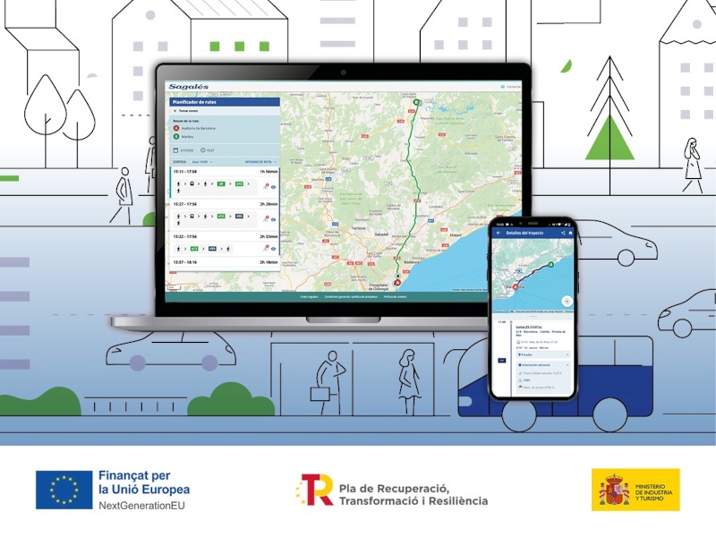
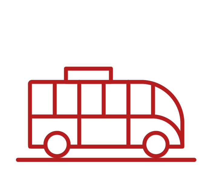
Cercalia allows us to offer solutions for any business. It’s a platform we developed especially for companies and public authorities. We cover most of the planet in a way that’s reliable and up-to-date, and every day we provide over 10 million maps for more than a thousand clients.

Find your project

Enmapa

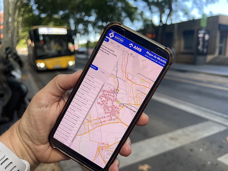
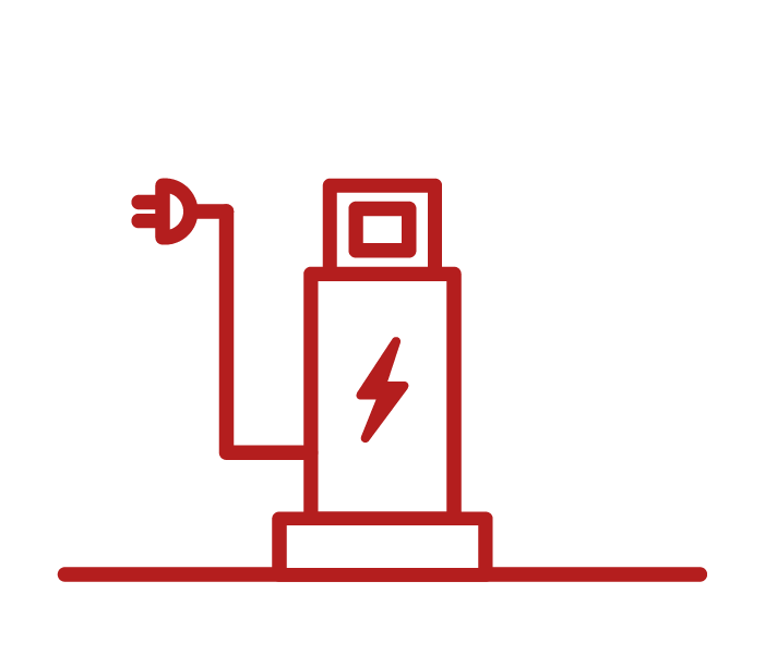
Local councils use enMapa to transform data into solutions. We turn large amounts of data into usable knowledge. We design tools to make cities smarter, more sustainable, more efficient, and closer to local residents.

Find your project

Recitty

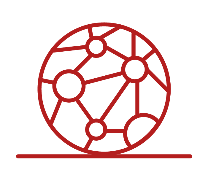
A tool that offers an unparalleled view of the city. The platform integrates and analyses a wide range of information from internal sources and external operators in real time to improve quality of life in cities.

Find your project

Nexus

Made to measure

We help our clients digitise their business and activities. We enable them to work with their own information using maps and routes that provide context and data to analyse, manage and communicate their day-to-day activity.

Find your project

News

mapa obres barcelona
Tue, 11/02/2025
Interactive map of the Integral Maintenance Plan (PMI) of Barcelona
GIS Solutions for City Councils, City Councils
pisos
Tue, 20/02/2018
Maps with 3D buildings with apartments and houses on the real estate portal Pisos.com
ematsa
Fri, 09/02/2018
A Touch screen application to inform of field-work water samples
Ver más

Let’s get acquainted

Would you like to work with us and be part of the #NexusTeam? Want to find out more about what we do? Let us know and we’ll get in touch with you.

Work with us

Sobre nosotros

CONTACT
  • Barcelona Office
    Aragó 264 4, 08007 Barcelona
  • Guadalajara Office
    Av. Buendía 11, 19005 Guadalajara
  • Girona Office
    Joaquim Botet Sisó 6, 17003 Girona
  • +34 93 0172728
    [email protected]
  • TwitterYoutubeLinkedin Instagram
SECTORS
  • City councils
  • Public authorities
  • Mobility and sustainability
  • Service networks
  • Companies and businesses
  • Logistics
NEXUS
  • News
  • Work with us
  • Cercalia
  • enMapa
  • Recitty
  • Contact
OTHERS
  • BusManager
  • Routing Reparto
logo soclogo generalitatLogo eulogo next genenergia renovableENSPymeInnovadora
aeonorISO
Sello PYME INNOVADORA 11/02/2028
PYME INNOVADORA
Válido hasta el 11 de febrero de 2028
escudo de MEIC 11/02/2028
  • Quality, Safety, and Environmental Policy
  • Cookies policy
  • Privacity policy
  • Legal advice
  • Home
  • 25 years
  • News
  • Sectors
    • City councils
    • Public authorities
    • Mobility and sustainability
    • Service networks
    • Companies and businesses
    • Logistics
  • Tools
    • Cercalia
    • enMapa
    • Recitty
    • Custom solutions
    • Bus Manager
  • Contact
    • Contact
    • Work with us